Following recent rainfall and changing conditions along the River Nene, water levels at Stanwick Lakes are currently higher in some areas. As the site sits within a floodplain, path conditions can change quickly and, at this time, this is not always due to local rainfall but factors further along the river.
To help you plan your visit, we update the map below showing path accessibility and water levels as per the latest (daily) Ranger site checks. However, please note, water levels can change quickly, and rainfall isn’t always the only factor. River levels further afar can have an effect.
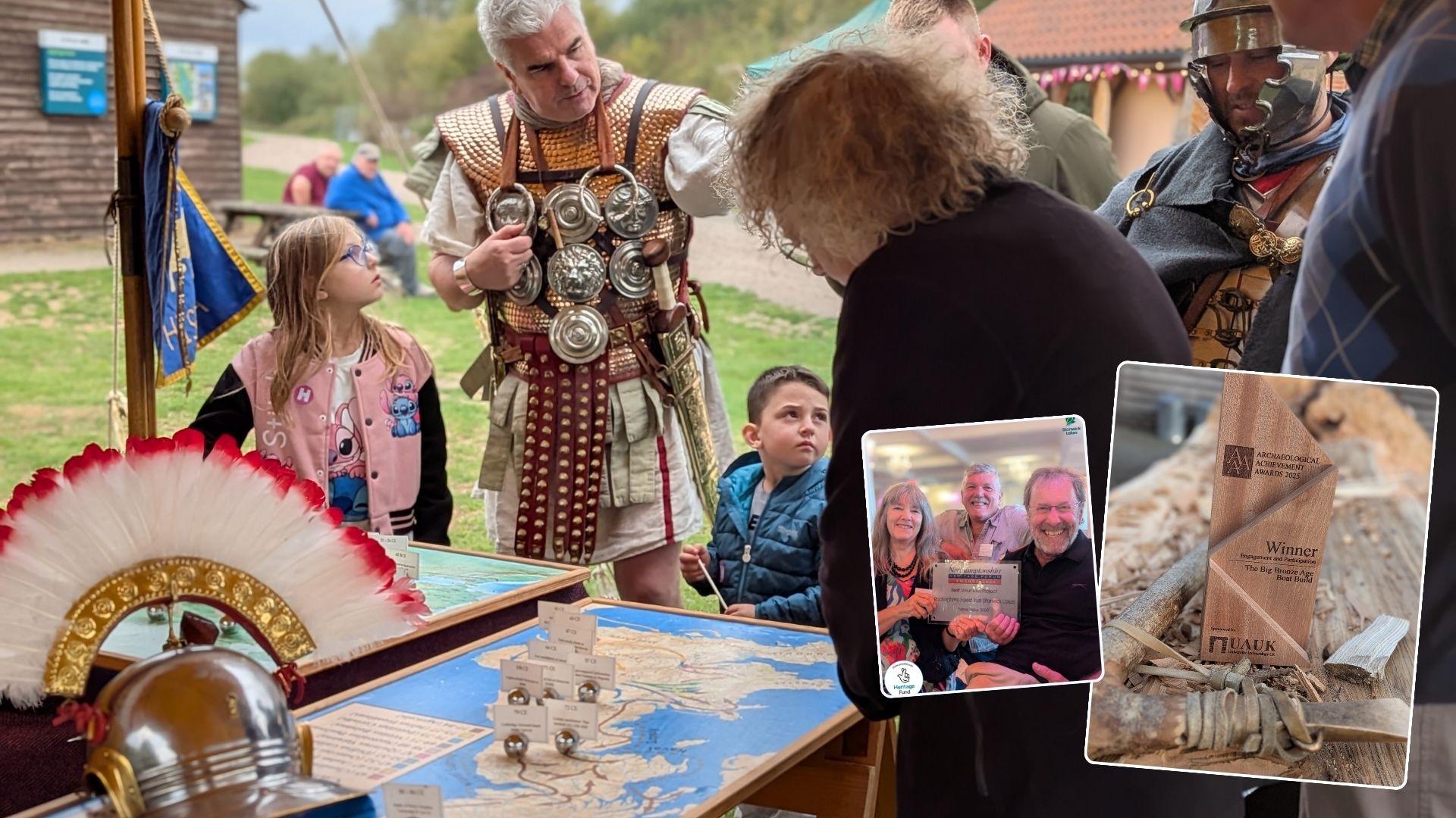
Stanwick Lakes is a charity, and visitor support plays an important role in helping us care for the site. While conditions are changeable at the moment, we’d love this temporary situation not to put you off visiting. There are still accessible routes to enjoy, and the Visitor Centre, shop and café remain open – with cake or hot brew available!
If conditions ever become unsafe to visit, we will update the newsflash on our website and share information via our social channels.
In the meantime, for the most up-to-date advice on the day, please check with our welcome desk when you arrive. Our team receives regular updates from on-site rangers and will be happy to advise on suitable routes. You can also call us on 01933 625 522 when the Visitor Centre is open (usual hours 9.30am – 5pm, 7 days a week).
Key:
Red
⚠️ Impassable ⚠️
Do not attempt to walk here as currents may be strong or water may be very high and hide hazards below it.
Yellow
Wellies recommended. This indicates paths where you could walk but wellies or walking boots are needed.
Green
Unaffected. This indicates paths where you could walk with no issues.
")
")